CSID WORKSHOP OCTOBER 2022 – “Geographic Information System (GIS) for Infrastructure and Regional Development”
Depok, 24 Oktober 2022
Geographic Information System (GIS) is a computer-based device that can be used to manage input, management, and output of the spatial or geographically referenced data that aims to map and analyze existing things and events that occur on earth. GIS technology integrates common databases with query operations and statistical analysis presented with good visualization. Any data that refers to locations on the earth’s surface can be referred to as geographically referenced spatial data, such as population density data of an area, network or channel data, etc. The application of GIS can be used for various purposes as long as the processed data has geographic references; namely, the data consists of phenomena or objects that can be presented in physical form and has a spatial location.
Some of the advantages of GIS include providing a description of an event and producing predictions of outcomes and strategies for regional or infrastructure planning. In addition, it can become data management and decision-making in the process of infrastructure development is an important prerequisites for the development and acceleration of sustainable economic growth of a country. Planning methods have shifted with the use of digital technology, which is advancing rapidly. In infrastructure and regional planning, the emergence of a Geographic Information System (GIS) has significantly changed its substantial and procedural components. GIS technology has been used for development planning at different spatial scales and macro and micro-level planning.
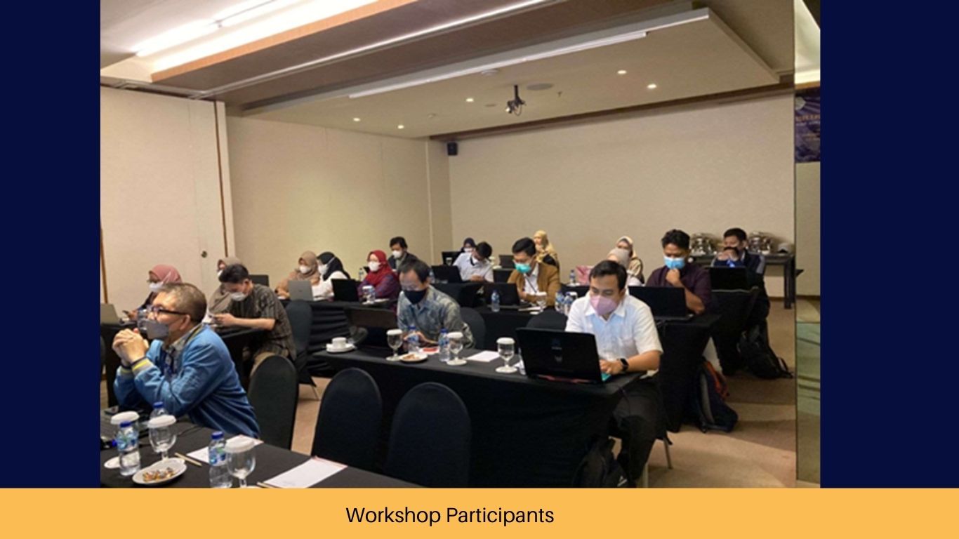
CSID aims to conduct studies on using GIS for infrastructure and regional development to achieve sustainable development. In achieving these goals, CSID seeks to develop the ability and understanding of human resources so that they have competence in the use of science and technology to be applied in the infrastructure sector. Therefore, CSID held a workshop on the utilization of GIS for infrastructure and regional development that can increase the capacity of human resources in analyzing spatial data and utilizing GIS tools.
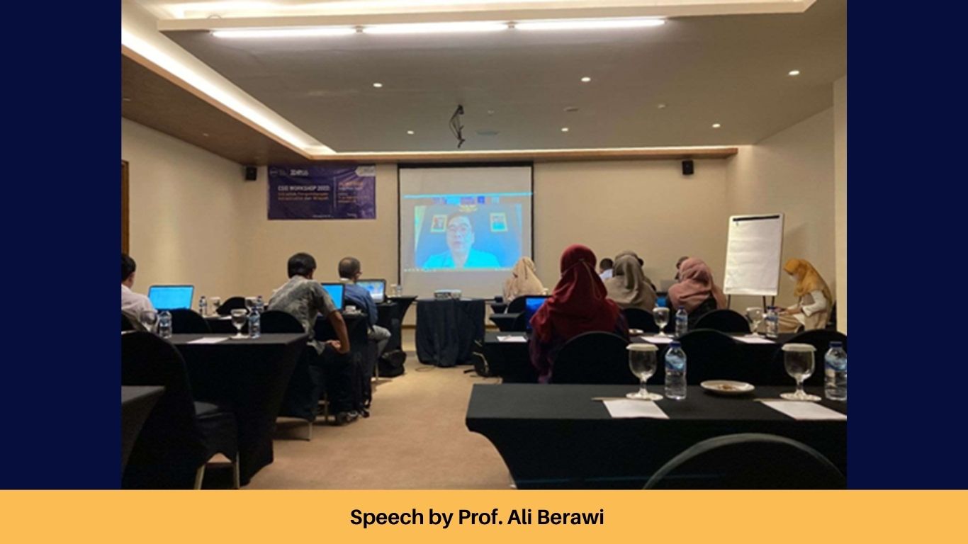
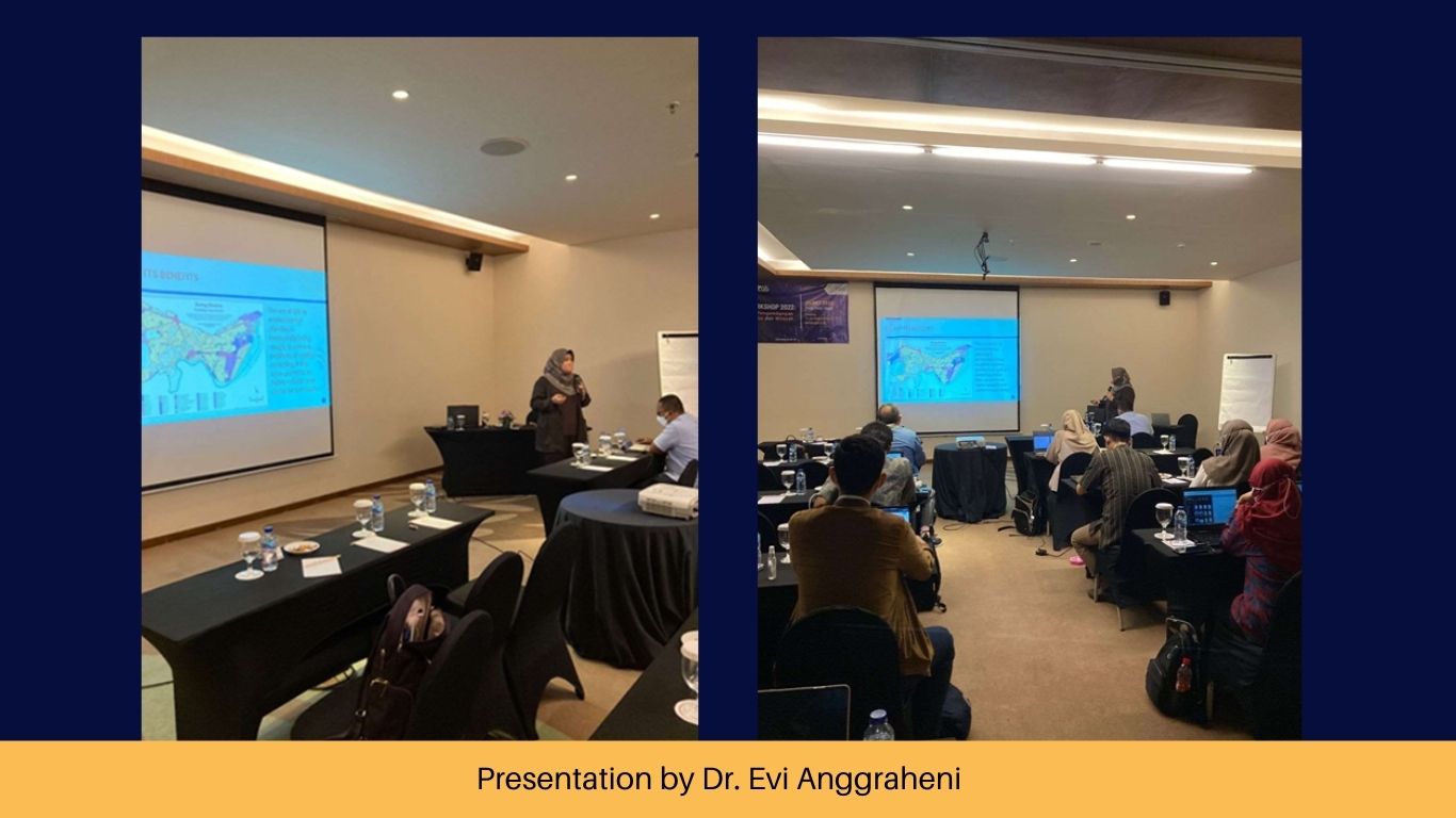
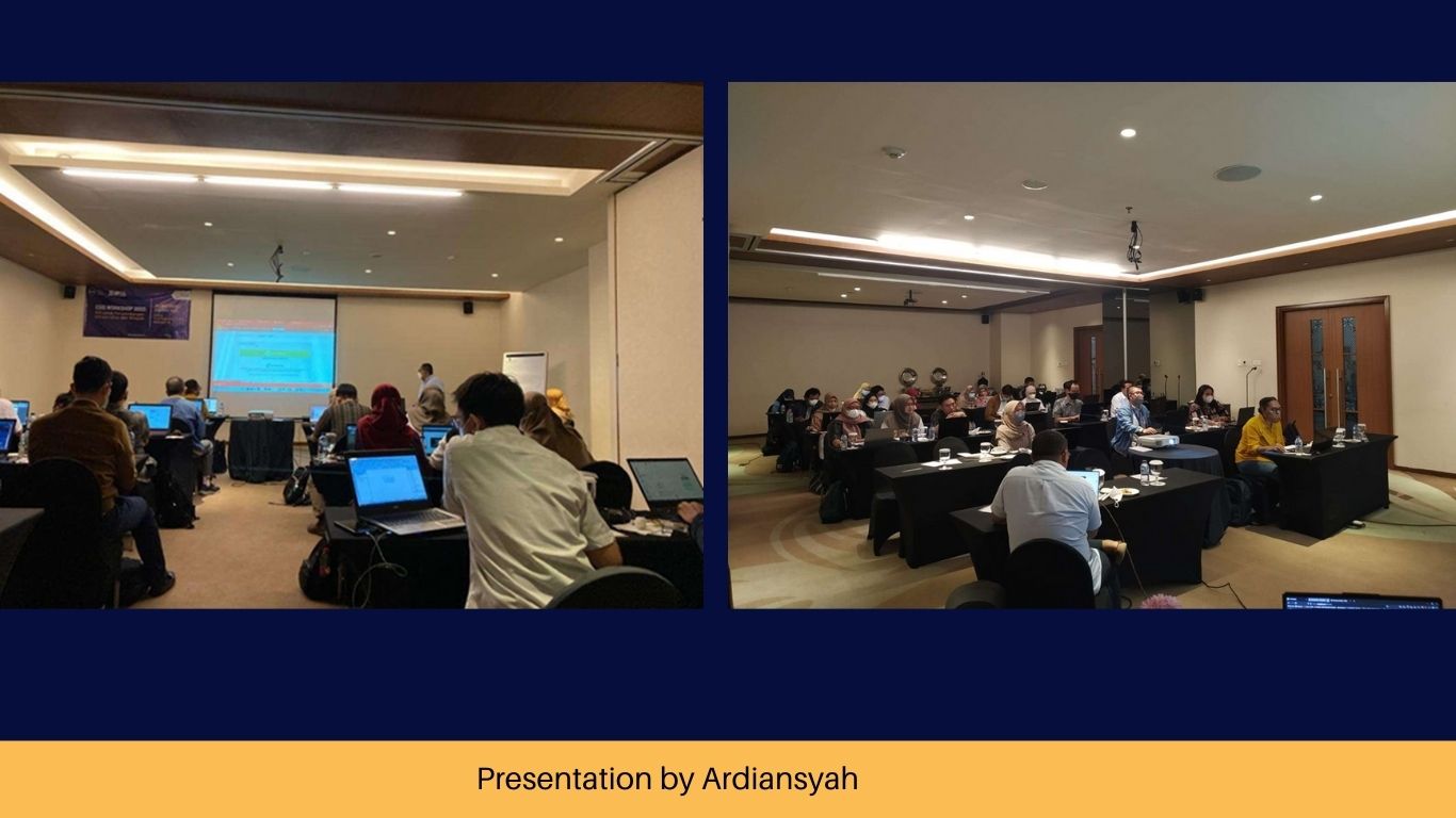
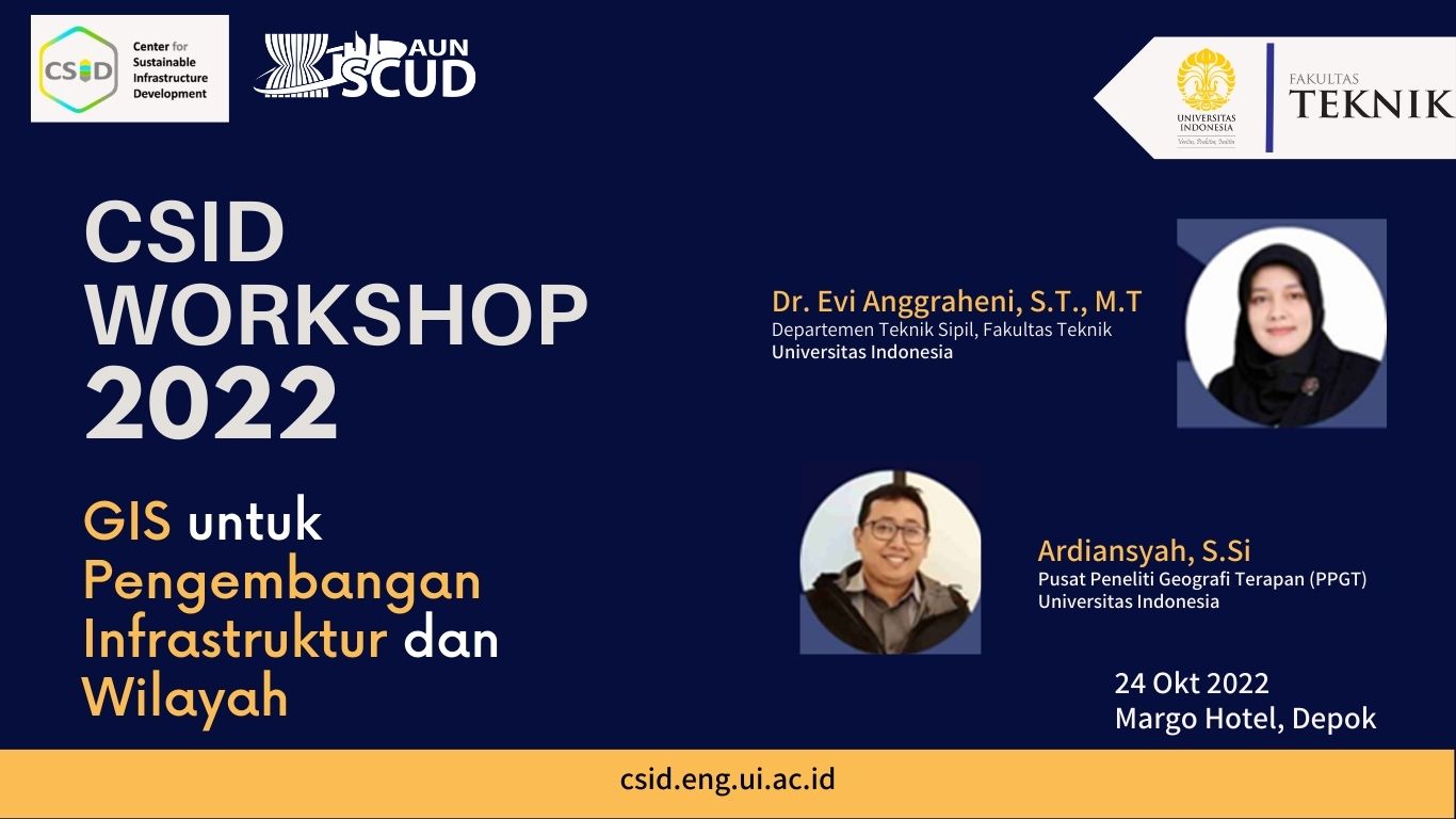
The CSID Workshop 2022 GIS for Infrastructure and Regional Development was a training session in using spatial data using geographic information system (GIS) tools in planning, programming, monitoring, and evaluating regional infrastructure development. This event was held on October 24, 2022, from 09.00 – 16.00 at The Margo Hotel Depok. CSID invited Dr. Evi Anggraheni M, S.T., M.T., and Ardiansyah, S.Si. as the speakers with an expertise in Geographic Information Systems (GIS).